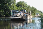
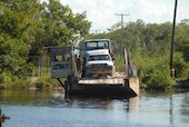
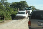
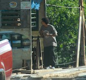
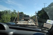
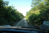
Click here for the location of Cerro Maya

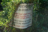
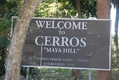
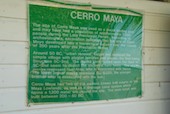
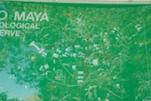
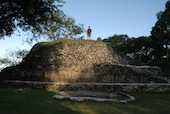
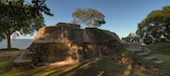
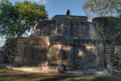
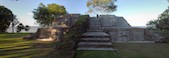
Click here for more information about Cerro Maya

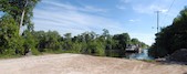
Click here for some QuickTimeVR images of the extreemly full parking lot, the path to the temples and the "first temple".
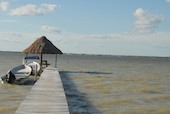
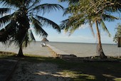
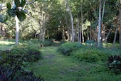
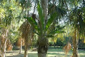
  • The sign by the hand-crank ferry
  • the ferry on the other side of the river
  • note the size of the truck on the other bank
  • The cable attachment point
    • Waiting in line for the ferry.
    • Raptor overhead.
        • Even the trucks had trouble getting off of the ferry
        • One of the two hand-crankers
        • driving onto the ferry
        • cranking the ferry
        • Looking downstream from the ferry
        • Mangroves
        • a banana plantation
        • at times, the road could have been better
        • at times, the road could have been wider
            • We only went from the Visitor's Area over to the point (at the top). Most of the sight has not been excavated.
            • Corozal Town, seen across Corozal Bay
            • the view of the site from the dock
            • the view of the dock from the site
            • The aptly-named Mosquito Trail!
              • Dan on the "First Temple"
              • Dan
              • The "First Temple"
              • Stacy on the "First Temple"
              • The "First Temple"
              • Stacy on The "First Temple"